


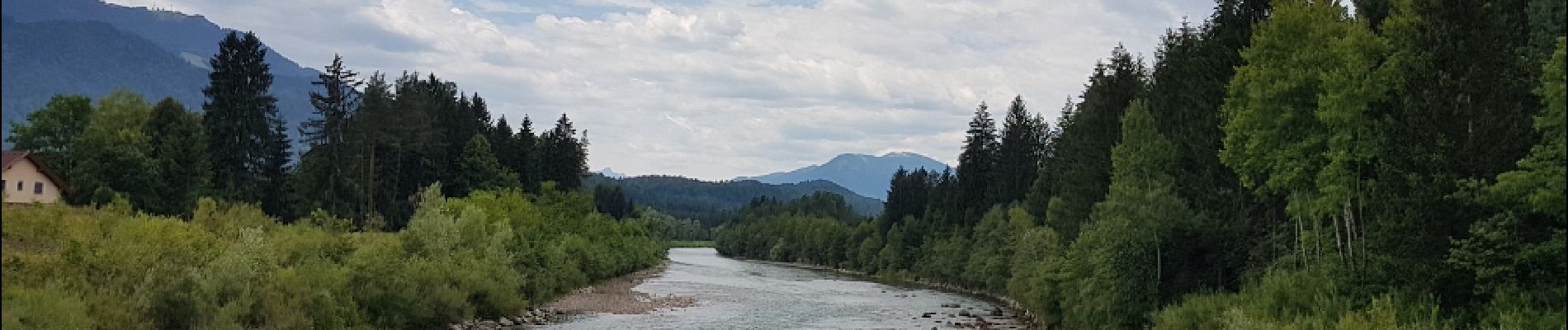
Kranjska Gora - Villach

karawatsj
User
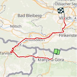

Length
49 km

Max alt
868 m

Uphill gradient
559 m
Km-Effort
57 km

Min alt
487 m

Downhill gradient
859 m
Boucle
No
Creation date :
2019-01-15 12:42:46.079
Updated on :
2019-01-15 12:42:46.079
2h58
Difficulty : Easy

FREE GPS app for hiking
 SityTrail
IGN / Geographical institutes
SityTrail Plus
The world is yours!
About
Trail Cycle of 49 km to be discovered at Unknown, Unknown, Kranjska Gora. This trail is proposed by karawatsj.
Photos


Positioning
Country:
Slovenia
Region :
Unknown
Department/Province :
Unknown
Municipality :
Kranjska Gora
Location:
Unknown
Start:(Dec)
Start:(UTM)
407403 ; 5149080 (33T) N.
Comments